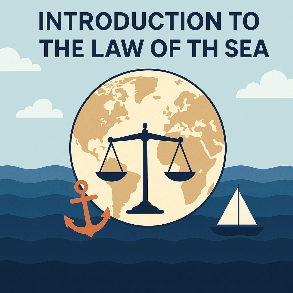
Introduction to the Law of the Sea.
The Law of the Sea is a global law that regulates the utilization and exploitation of the oceans of the world. In 1982 the United Nations signed the United Nations Convention on the Law of the Sea (UNCLOS) which has been dubbed a constitution on the oceans. UNCLOS establishes the rights and responsibilities of nations in areas of territorial waters, sea-lanes and marine resources. It was adopted in 1994 following the necessary ratings of the ratifications and nowadays over 150 countries are signatories to the agreement. The Law of the Sea is critical to AP Human Geography students as it defines the limits of politics, resource conflicts and environmental policies.
UNCLOS: Definition and Importance in Applied Human Geography.
According to the terminology of AP Human Geography, UN Convention on the Law of the Sea (UNCLOS) is a convention that spells out the rights and responsibilities of countries to use oceans of the world. The convention defines legal regulations of maritime navigation, management and protection of resources and environment. UNCLOS was adopted in 1982 and ratified by over 160 countries and establishes several maritime zones territorial seas, contiguous zones, exclusive economic zones (EEZ), continental shelves and the high seas and establishes mechanisms to resolve disputes. When studying AP Human Geography, it is beneficial to mention the UNCLOS to understand how political boundaries are extended to the offshore areas and the enforcement of the environmental and economic policy.
Major Maritime Zones under the UNCLOS.
UNCLOS identifies various maritime zones as calculated with reference to a base, which is usually the low-water mark of a shoreline. These areas determine the territory of sovereignty or privileged rights of states:
Internal Waters – waters located on the landward of the baseline such as bays and estuaries in which a state has over all the sovereignty.
Territorial Sea – expands up to 12 nautical miles Sea: This denotes the extent of the baseline of a coastal state. In this area, the coastal state possesses sovereignty in respect to the water, seabed, and airspace. The foreign vessels are, however, given a right of innocent passage provided that they do not engage in certain activities like weapons testing, spying, smuggling or pollution.
Contiguous Zone – this is 24 nautical miles along the baseline. It enables a state to exercise laws concerning customs, immigration and pollution in the territorial waters, a bit further than the territorial waters of a state. This contiguity zone is known to be existing in UNCLOS, and frequently studied in AP Human Geography, although not explicitly mentioned in our sources.
Exclusive Economic Zone (EEZ) – extends to a distance of 200 nautical miles of a coastal state maritime boundary. In the EEZ, the state has the discretion of exploiting marine resources and controlling the use of marine resources which include fishing, energy production, and scientific research.
Continental Shelf – the submerged aspect of a landmass of a country. UNCLOS grants coastal states exclusive rights in the seabed and subsoil concerning an outer limit of the continental margin or 200 nautical miles and a total maximum distance of 350 nautical miles.
High Seas – territories not under the jurisdiction of any particular nation they are not under the territorial sea or EEZ of any particular nation. All states have the right to navigate, fish and conduct scientific research in the high seas and no state has the valid claim to sovereignty over the high seas.
These zones are defined by UNCLOS which helps to determine the extent of sovereignty or resources rights of a state to the offshore territory. This will assist the students of AP Human Geography to comprehend the controversial issues of maritime boundaries and the spaces of power.
Oceanic Borders in AP Human geography.
A maritime boundary is used to demarcate the expanse of jurisdiction that a state has over the neighboring sea zones. According to the U.S. National Oceanic and Atmospheric Administration, the international law accepts internal waters, territorial seas, contiguous zones, EEZs, continental shelves, high seas and the international seabed area as maritime zones. The length of each zone is measured against the bottom. States bargain boundaries in order to have boundary overlapping territorial seas or EEZs shared out fairly; where nations fail to reach a consensus, territorial boundaries can be resolved by the courts or arbitration tribunal.
Definition of the Territorial Sea (AP Human Geography)
In AP Human Geography definition, the territorial sea is the waters extending to the 12 nautical miles of the baseline of the country wherein the state exerts sovereignty over the water, the seabed and the airspace. Under this zone, a state is able to implement legislation on navigation, fisheries and pollution. But foreign vessels only are accorded innocent passage–they can pass without endangering the peace or safety of the state, where they pass.
EEZ AP Human Geography EEZ Definition.
The UNCLOS definition of EEZ is applied to the AP Human geography. It is a coastal stretch of 200 nautical miles. The coastal state is only entitled to explore, exploit and control the natural resources in its EEZ but allow other countries the freedom of navigation and overflight. Conflicts usually exist whenever there is a cross-border of the EEZs particularly in regions that are rich such as the South China Sea.
High Seas (AP Human Geography)
The high seas commences after the EEZ or the territorial sea of a state. Fiveable illustrates that the high seas or parts of the ocean that lie beyond national jurisdiction are not under the territorial control of any one country. The waters occupy approximately two-thirds of the oceans of the world and they are important to the world trade and biodiversity. The high seas are governed by the UNCLOS and other international agreements, but it is difficult to enforce them because it lacks national jurisdiction.
The significance of Maritime Boundaries in political Geography.
International Territory and Interstate Sovereignty.
The political geography is affected by maritime frontiers as they extend the state sovereignty into the sea. By carving out the territorial seas and the EEZs, the coastal states gain the right to the resources like fish stock, oil and gas reserves, and even the seabed minerals. UNCLOS tries to strike a balance between the interests of the coastal states and rest of the countries by giving them the right to the resources without detrimental to the freedom of navigation and overflight. Maritime boundaries, in the AP Human Geography, are useful in understanding why countries dispute over some parts of the ocean and how the boundary delimitation impacts the stability of the region.
Environmental Protection and Management.
Environmental responsibilities are also covered in the Law of the Sea. UNCLOS imposes guidelines to states to ensure the conservation of marine environment and management of resources in a sustainable manner. In EEZs, states control fishing, energy exploration, and scientific research in order to eliminate overexploitation. At the high seas, there is a need to cooperate internationally in order to deal with issues like unlawful fishing, and pollution. In the case of AP Human Geography, these are the problems that point to the interaction of human activities with physical geography and global governance.
Boundary Controversies and Geopolitics.
In a case where the territorial seas or EEZs of the countries border each other, there may be a conflict in the right to resources and routes. UNCLOS urges states to bargain on fair line boundaries. In case of failure of negotiations, disputes can be resolved by International Court of Justice or arbitration. Some notable cases are the rivalry over the South China Sea where various nations are fighting over overlapping EEZs and islands. This knowledge of these conflicts can assist AP Human Geography students to have a clear linkage of legal frameworks and actual geopolitical tensions in the world.
Frequently asked questions (FAQs).
UNCLOS in AP Human Geography What is UNCLOS?
UNCLOS is an international treaty, the United Nations Convention on the Law of the Sea, which codifies the rules of governance in the sea. It provides the definition of various maritime areas like the territorial seas and EEZs and the rights and obligations of states.
What is meant by the term maritime boundary in AP Human Geography?
A maritime boundary refers to a legal boundary that shows the extent of jurisdiction of a state into the ocean. The international law according to NOAA identifies areas such as internal waters, territorial seas, EEZs as well as the high seas with each being measured off a baseline. These limits have an impact on sovereignty, access to resources and international relationships.
What is the definition of a territorial sea?
A territorial sea is up to 12 nautical miles along the coast of a state. This water, the seabed and the airspace above it is under the sovereignty of the state. Innocent passage should be given to foreign vessels as long as they do not engage in banned practices.
What is Exclusive Economic Zone (EEZ)?
EEZ is a region that covers a distance of up to 200 nautical miles of the base of a country. A coastal state is allowed in its EEZ to survey and utilize marine assets and control economic operations though not to restrict the freedom of ship passage to other states.
What are the high seas?
High seas are waters of the ocean that are not within the national jurisdiction. Where EEZs begin are where they end and free to all states to navigate, fish and conduct research. The high seas can not be regarded as the property of any state.
What are the benefits of maritime boundaries in AP Human Geography?
Maritime boundaries stretch the political boundaries out to the sea and define who is in charge of marine resources. They assist in explaining the geopolitical disputes around fisheries, oil fields and strategic waterways and illustrating how legal systems such as UNCLOS shape the functioning of geopolitics and how states manage resources sustainably.
Conclusion
The Law of the Sea offers a legal framework of managing the world oceans and forms the center of political geography. UNCLOS helps to establish areas of sovereignty or resource rights of states; territorial seas, exclusive economic zones, and the high seas are all defined by this convention. These ideas, more so, the understanding of maritime boundaries, EEZs and high seas, are crucial to the study of boundary conflict, resource management and environmental policies among students of AP Human Geography. Along with increased demand on marine resources in the world and the geopolitics, the Law of the Sea will continue to feature in the international relations and human-environment relations as a crucial element.